 Map of our route - at the NSW Vic border- Bribie is close to Brisbane which is almost the most Eastern part of Australia about half way up the eastern coast.
  Canberra before the new Parliament House was built.
 Somewhere in NSW between Brisbane and Canberra...?

 pineapples were 5c and ripe and sweet so we lived on them
 pineapples growing by the mile just north of Brisbane

 Sydney Town has an historic reenactment of Colonial life
 Dot contemplates the Stocks
 View over Sydney - maybe from the Blue Mountains
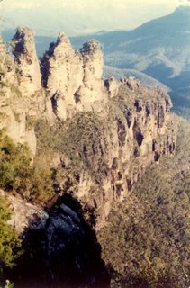 The three Sisters rocks in the Blue Mountains
 Boyd Town NSW - border Victoria - The Seahorse Inn- the only building there.
 Good skiing at Falls Creek
 A foot of snow on all the cars too!
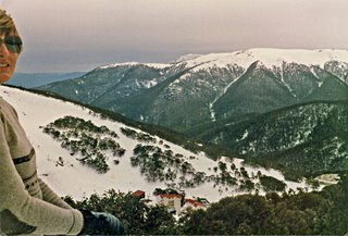

 Ovens Valley tobacco drying


 Hattah-Kulkyne National Park, Hattah Lake -no one else there - no drinkable water!

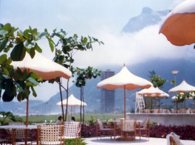

 Artists market Rio
 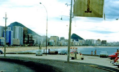 Copacabana beach as it is not usually photographed...
 Swan Hill paddle-steamer turning
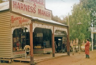
 Swan Hill model historic village
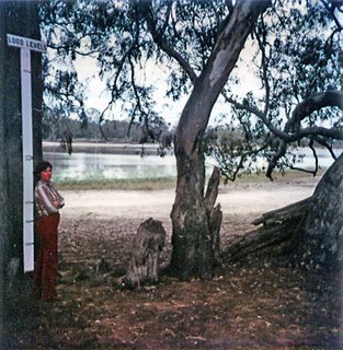 Hattah Lake -just south of Mildura- flood guide
 Masses of wildflowers
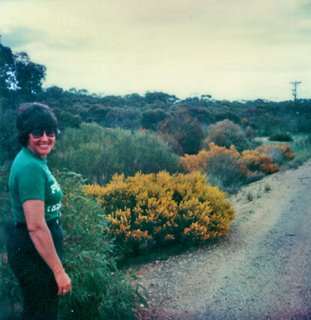 Hattah Lakes flowers
 Pelicans beside the Murray River - bridge Mildura.
 Wentworth
 Wentworth Jail built by convicts
 Just north of Wentworth - Perry sandhills
 Walking inside lake looking for more old charcoal and bones from prehistoric Aboriginal inhabitants!
 This place took hours from Mildura over very rough roads with lots of gates to be opened and there was only this "lake" and an old tin shearing shed to see and no water to drink.
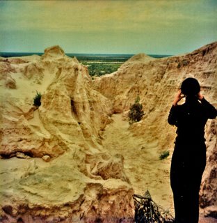 Walls of China Lake Mungo
 China was quite wary of this stone cat at first - 1981
 Proserpine Airport wall map of the islands I planned to visit from Airlie Beach
 The bus trip to Airlie beach was spectacular!
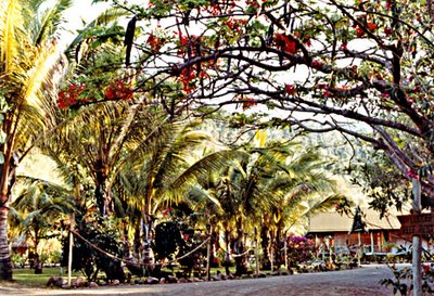 Motel in the Palms

 We landed on the water here and snorkelled around the Great Barrier Reef with fabulous coloured seaweeds and fish and coral.
 The ferry "bus" between islands - great for day trips